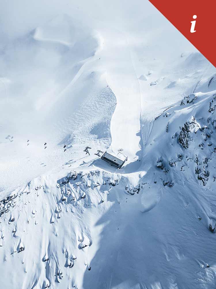
Interactive piste map

The Hochfügen interactive piste map provides information on all lifts, slopes, trails, ski chalets, fun parks, photo points and the Hochzillertal ski network.
ownload piste map

You can find out which slopes and lifts are open in Hochfügen in Zillertal here:
Open slopes and lifts

Difficulty levels of the pistes
Blue: easy - not more than 25% incline Red: intermediate - not more than 40% incline Black: difficult - more than 40% incline

Facts & figures

Available slopes

  • Total 88 km or 637+ acres
  • Easy (blue): 28.7 km
  • Intermediate (red): 41.3 km
  • Difficult (black): 13.0 km
  • Ski route: 3.58 km
  • Park: 1.5 km


Facilities

  • 5 x 8-seater gondolas
  • 2 x 8-seater chairlifts
  • 5 x 6-seater chairlifts
  • 3 x 4-seater chairlifts
  • 2 x 2-seater chairlifts
  • 19 drag lifts
  • 1 Magic Carpet
Informationen Skigebiet Pistenplan Skipasspreise Wintersportort Tirol Zillertal Hochfügen
Follow Hochfügen
Get social